Animate Garmin Activities into 3D Trail Videos
Export GPX or FIT files from Garmin Connect and create 60fps cinematic 3D flyovers with altitude profiles and real-time speed overlays.
Compatible with Strava, Garmin, Apple Watch, Coros, Wahoo, and Komoot. 60 FPS MP4 export for 9:16, 16:9, and 1:1.
Garmin 3D Route Visualizer
Explore altitude profiles, dynamic camera panning, and speed overlays.

Loading map preview...
Supported Platforms







How to Turn Your Strava Route into 3D Social Shorts
Watch the video walkthrough below or follow our 3 steps to convert raw GPX tracks into viral 60fps 3D video shorts for Instagram Reels, TikTok, and YouTube in under a minute.
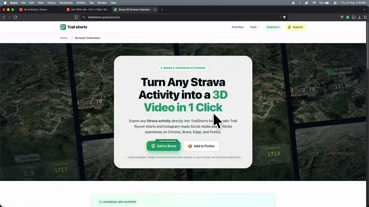
Watch the full tutorial to learn how to customize camera angles, 3D terrain, and export formats.
Import Route from Strava or GPX
Import directly from Strava or upload any GPX from Garmin, Apple Watch, Coros, or Wahoo.
Customize 3D Camera & Aspect Ratio
Choose 9:16 vertical (TikTok/Reels), 16:9 YouTube cinematic, satellite styles, and live speed HUD.
Render 60 FPS Social Video in 60s
Export crisp 60fps MP4 video ready to publish immediately on Instagram Reels, TikTok, or YouTube.
100% Free to Use
No monthly subscriptions or paid tier lockouts. Free for all outdoor athletes worldwide with clean outro branding.
Direct MP4 Video Download
Real 60fps MP4 video files exported directly to your device ready to share on Instagram Reels, TikTok, and YouTube.
100% Client-Side Privacy
Your GPX files and route coordinates are parsed and rendered directly in your browser. Zero tracking on remote servers.
Frequently Asked Questions
Everything you need to know about generating 3D route flyovers and stat cards.
How do I export a GPX file from Garmin Connect?↓
Does TrailShorts preserve Garmin elevation and heart rate data?↓
Can I combine multiple Garmin multisport legs into one video?↓
How TrailShorts Outperforms Other Tools
Compare TrailShorts with Strava, Komoot, and Relive. Enjoy high-definition 3D video shorts, dynamic camera choreography, and live telemetry without paywalls or subscriptions.
Paste any public Strava link or upload your GPX/FIT file — 100% free with no signups.
Explore All 3D Route Video Generators
Generate 3D trail flyovers and aesthetic social media posters from any smartwatch, GPS computer, or tracking app.
Formats, 3D Replays & Social Shorts
Generate vertical reels, 3D trail replays, stat cards, and 60fps flyover shorts for Instagram, TikTok, and YouTube.
Supported Devices & GPS Apps
Export GPX tracks from Strava, Garmin, COROS, Wahoo, Apple Watch, AllTrails, Komoot & Suunto.
Popular Outdoor Sports
Create cinematic 3D flyovers tailored for running, cycling, hiking, trail running, gravel, and ski touring.
Free Alternatives & 3D Converters
100% free, browser-based alternatives to Relive, Strava Summit 3D flyover, and Ayvri.
Tutorials & GPX Export Guides
Step-by-step guides on exporting GPS tracks from fitness apps and creating high-resolution 3D animations.